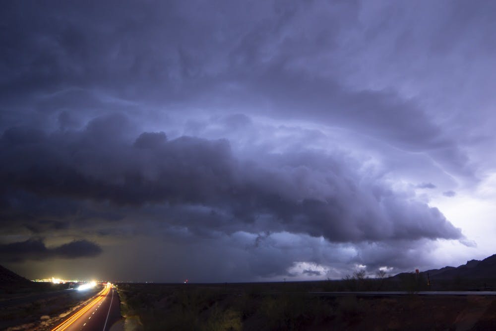
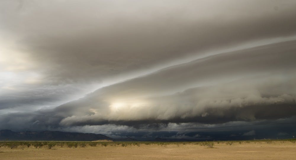
The desert transformed into a scene from the Midwest Saturday as a storm system raced into Arizona.
With a stunning shelf cloud and reported tornado in southwest Arizona, the system interacted with the remnant moisture of former Hurricane Sergio sending a cluster of thunderstorms that inundated Valley roads.
As the storms approached Phoenix, the sunrise revealed a breathtaking view for travelers and storm chasers alike. A massive shelf of roiling clouds stretched from one end of the sky to the other with lightning flickering from within.
However, once the storm arrived in Phoenix, its effects were not so pretty. Flash flood and severe thunderstorms warnings were issued and both directions of Interstate 10 became flooded.
In addition, the Arizona State Fair was closed on Saturday for the first time ever according to a Tweet by the fair.
The potent mix of transiting tropical moisture from Sergio mixed with a pocket of strong turbulent winds and cool air sent a cluster of strong storms into Arizona early Saturday morning.
However, the primary cause of flooding around the Valley was the slow movement of the storm, according to Larry Hopper, a meteorologist at the National Weather Service.
“It really moved very slowly over southeast California as it deepened," Hopper said. "And because of that, it rained over Phoenix for several hours."
As the last raindrops fell on Saturday, Phoenix Sky Harbor International Airport reported its 11th rainiest day ever recorded, according to the National Weather Service.
Reach the reporter at cscragg@asu.edu or follow @monsoonchaser on Twitter.
Like State Press on Facebook and follow @statepress on Twitter.


